| Acronym List | |
|---|---|
| CDO | community development officer |
| CLTS | community led total sanitation |
| DWST | district water and sanitation team |
| GES | Ghana Education Service |
| EHO | environmental health officer |
| SBCC | social behavior change communication |
| WATSAN | water and sanitation |
| QI | quality improvement |
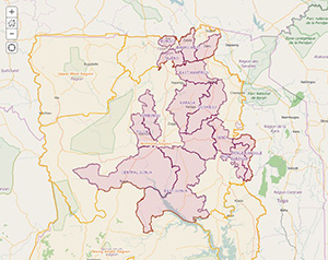
SPRING works with the most vulnerable communities or groups in 15 districts within the Northern and Upper East Regions of Ghana. SPRING’s goal is to reduce the prevalence of stunting by 20%, as envisaged by the U.S. Government’s Feed the Future Initiative within its zone of influence, by supporting pregnant and lactating women and children under two to adapt evidence-based nutrition and health behaviors.
This map provides health facility data (e.g. numbers of staff trained and supported by SPRING and GIS coordinates), and data for all communities reached by SPRING interventions in FY15 and those targeted in FY16. The map highlights technical areas in which SPRING conducted training and support including key community outcomes aggregated by district level and disaggregated by sex:
- Infant and young child feeding (IYCF) and community IYCF: number of people trained on appropriate feeding practices for children under two
- Water, sanitation, and hygiene (WASH): number of people trained on safe water preparation, clean play spaces for children under two, handwashing at key times, and safe disposal of feces
- Agriculture Farmer (Agric Farmer) –number of farmers trained through farmer field schools with a focus on aflatoxin reduction
- Logistics management: number of health facility staff trained on the standard operating procedures for the management of nutrition commodities and supplies
- Social behavior change (SBCC) video reached: number of people who viewed videos with targeted SBCC messages on project related topics
- Supportive supervisions: number of follow up visits conducted to support the nutrition agenda at health facilities
- All target communities to date, including the location of every district office
- All health facilities located within the 15 districts
- A validated and updated road network for all the districts, based on information generated through satellite imagery verification