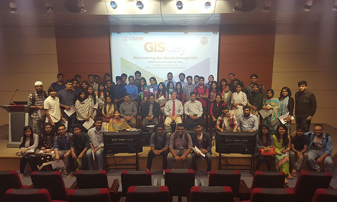
USAID/Bangladesh and the Department of Environmental Science and Management of North South University organized a workshop on 18 November 2015 to celebrate GIS Day. The purpose of the event was to raise awareness about the significance of geographic information systems (GIS) and how they can benefit the development community.
USAID partners were invited to showcase their own work and learn what other projects are doing. The participants included SPRING/Bangladesh, the Aquaculture for Income and Nutrition project and the Agricultural Value Chains project. It was also open to university students, with many of them showing up to build their understanding of GIS.
GIS provides USAID and its projects with a clearer picture of the work that is happening in the field. Information about health facilities, road networks, etc. along with the key elements of the project are gathered and presented in the form of maps to help track progress and make data-driven and evidence-based decisions.
SPRING/Bangladesh has been using GIS since its inception in 2012. The project has produced maps of its 40 working upazilas in Bangladesh and SPRING is in the process of making these maps available online. A typical SPRING/Bangladesh GIS map shows the locations of the Government-run communityclinics, the graduated and ongoing farmer nutrition schools, and the union health and family welfare centers (UHFWC). The visual nature of maps makes it easy to understand where exactly SPRING/Bangladesh is working in an upazila, and helps with decision-making and program learning. It is also helpful when working with collaborative partners and understanding where gaps and opportunity areas in implementation could exist.